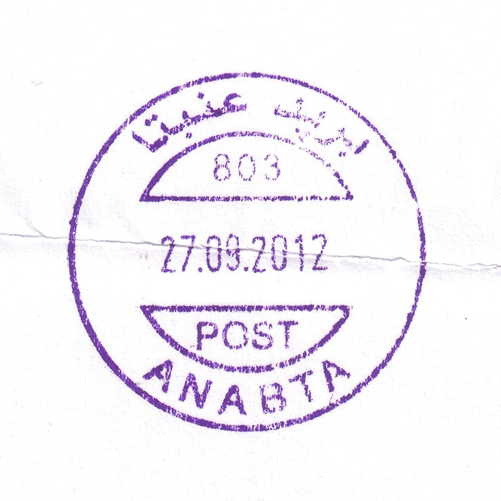
 Anabta © OpenStreetMap contributors, CC-BY-SA") | Anabta عنبتا Anabta | Pop.: 7,329 Govern.: Tul Opened: 1.01.1955 PO Number: 803 Postcode: 320 | |||||||||
| 32°18' N, 35°07' E OpenStreetMap Google Maps Wikipedia | Agricultural town in Tulkarm Governorate, just S of Bala'a, and 20km E of Tulkarm itself. Population 7,329 (Census 2007, 1997: 5,435). Jordanian authorities operated a post office (upgrade from a postal agency on 26.03.1965) from 1.1.1955. A post office under control of the Israeli military occupation forces existed from 29.08.1967. | ||||||||||
| |||||||||||
 anabta803_120927_0404")
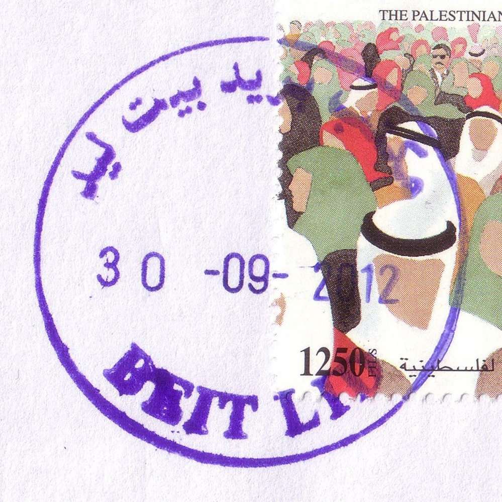
 Beit Lid © OpenStreetMap contributors, CC-BY-SA") | Beit Lid بيت ليد Bied Lid | Pop.: 4,994 Govern.: Tul Opened: 2005 PO Number: 813 Postcode: 330 | |||||||||
| 32°15' N, 35°08' E OpenStreetMap Google Maps Wikipedia | Agricultural municipality in Tulkarm Governorate, about 10 km SE of Tulkarm, and 12 km NW of Nablus. Population: 4,994 (Census 2007, 1997: 4,410). The PNA office is situated near town hall. Nearest other office is Anabta to the N. Jordanian authorities operated a postal agency from 2.01.1963. | ||||||||||
| |||||||||||
 beitlid_120930_0399")
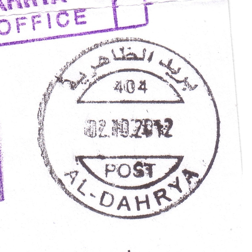
 Al Dahrya © OpenStreetMap contributors, CC-BY-SA") | Al Dahrya الظاهرية Al Thaherria, Adh Dhahiriya, Dahrya, ad-Dhahiriya, az-Zahiriya | Pop.: 28,776 Govern.: Heb Opened: 2.01.1971 PO Number: 404 Postcode: 790 | |||||||||
| 31°24' N, 34°58' E OpenStreetMap Google Maps Wikipedia | The third largest city in Hebron Governorate with 28,776 residents (Census 2007, 1997: 20,521), about 18 km SW of Hebron. Yatta to the E and Dura to the N are nearest other PNA offices. Jordanian authorities operated a postal agency between 13.02.1960 and 31.05.1967. A post office under control of the Israeli military occupation forces existed from 11.06.1974. | ||||||||||
| |||||||||||
 dahrya404_121002_0403")
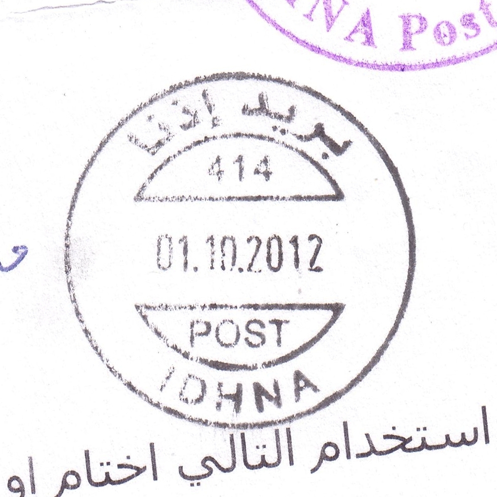
 Idhna © OpenStreetMap contributors, CC-BY-SA") | Idhna إذنا Ithna, Idna | Pop.: 19,012 Govern.: Heb Opened: 2004 PO Number: 414 Postcode: 760 | |||||||||
| 31°33' N, 34°59' E OpenStreetMap Google Maps Wikipedia | Town just E of the Green Line and about 13 km W of Hebron. Population in the 2007 Census was 19,012 (1997: 13,527). Surrounding offices are Beit Ula, Tarqumya, and Dura. Jordanian authorities operated a postal agency between 16.07.1967 and January 1967 (?). | ||||||||||
| |||||||||||
 idhna414_121001_0402")
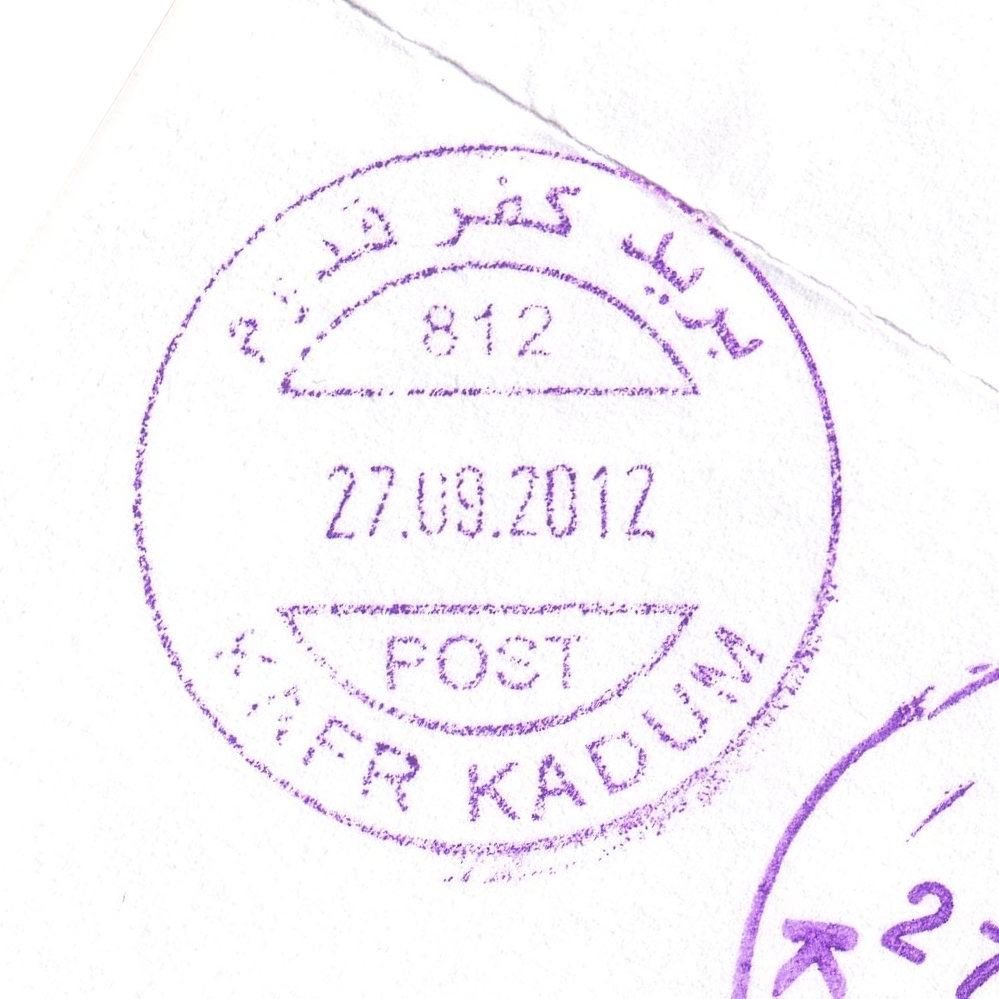
 Kafr Kaddom © OpenStreetMap contributors, CC-BY-SA") | Kafr Kaddom كفرقدوم Kefer Qaddom, Kafr Qaddum | Pop.: 2,908 Govern.: Qal Opened: 11.03.2003 PO Number: 812 Postcode: 370 | |||||||||
| 32°13' N, 35°09' E OpenStreetMap Google Maps Wikipedia | Village in Qalqilya Governorate, 16 km E of the muhfaza and 10 km W of Nablus. Popululation stans at 2,908 (Census 2007, 1997: 2,481). Surrounding offices are in Beit Lid, Deir Istiya, Azun, and Jayyus. Jordanian authorities operated a postal agency from 13.06.1963. | ||||||||||
| |||||||||||
 kafrkaddom812_120927_0398")
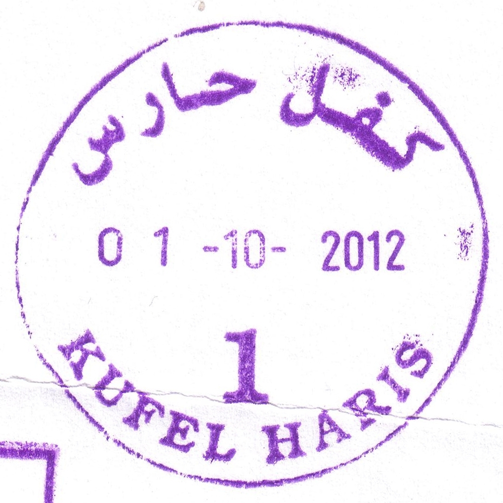
 Kufel Haris © OpenStreetMap contributors, CC-BY-SA") | Kufel Haris كفل حارس Kefl Hares, Kifl Haris, Kifl Hares | Pop.: 3,248 Govern.: Sal Opened: 3.12.1976 PO Number: 304 Postcode: 395 | |||||||||
| 32°07' N, 35°09' E OpenStreetMap Google Maps Wikipedia | Village in Salfit Covernorate, 4 km NW of the muhfaza and 15 km SW of Nablus. Population: 3,248 (Census 2007, 1997: 2,352). Offices in Deir Istiya and Bidya are neraest to this village. Jordanian authorities operated a postal agency from 26.01.1963. A post office under control of the Israeli military occupation forces existed from 3.03.1976. | ||||||||||
| |||||||||||
 kufelharis1_121001_0397")
") | |||||||||||
.jpg "post offices in Palestine: area map for (118) Saffa (West Ramallah) © OpenStreetMap contributors, CC-BY-SA") | Saffa (West Ramallah) صفّا (غرب را م الله) Saffa | Pop.: 3,804 Govern.: Ram Opened: 3.09.2012 Postcode: 699 | |||||||||
| 31°54' N, 35°03' E OpenStreetMap Google Maps Wikipedia | Town about 18 km W of Ramallah with 3,802 inhabitants (Census 2010, 1997: 2,857). The postal agency was opened on 3.09.2012 in a ceremony attended by postal managers and local dignitaries. The sub-postmaster is Mr. Muhammad Karajeh. | ||||||||||
| |||||||||||
 saffaWREP_20120903_0395")
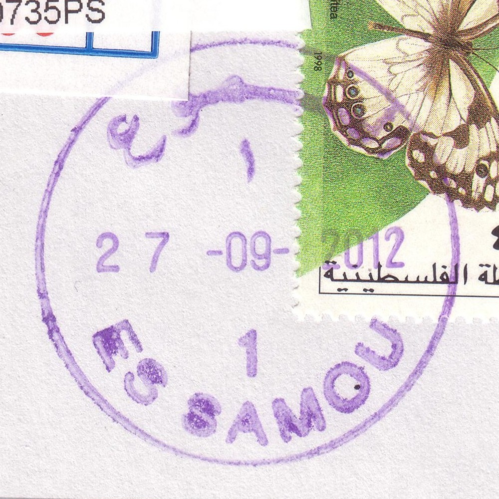
 Al Samou © OpenStreetMap contributors, CC-BY-SA") | Al Samou السموع Al Samoa, Essamou, As Samu', Samu'a, as-Samu', as-Samu | Pop.: 19,649 Govern.: Heb Opened: 5.11.1997 PO Number: 410 Postcode: 797 | |||||||||
| 31°24' N, 35°04' E OpenStreetMap Google Maps Wikipedia | 14 km S of Hebron with Yatta to the N and al-Dahrya to the W. Its population grew in size from 12,911 to 19,649 between the censuses of 1997 and 2007. Jordanian authorities operated a postal agency between 14.01.1963 and 4.06.1967. | ||||||||||
| |||||||||||
 samou_120927_0396")
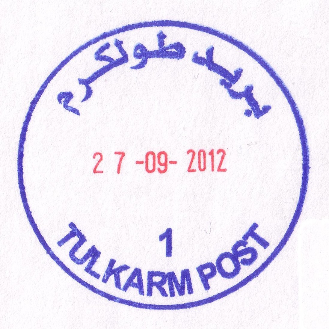
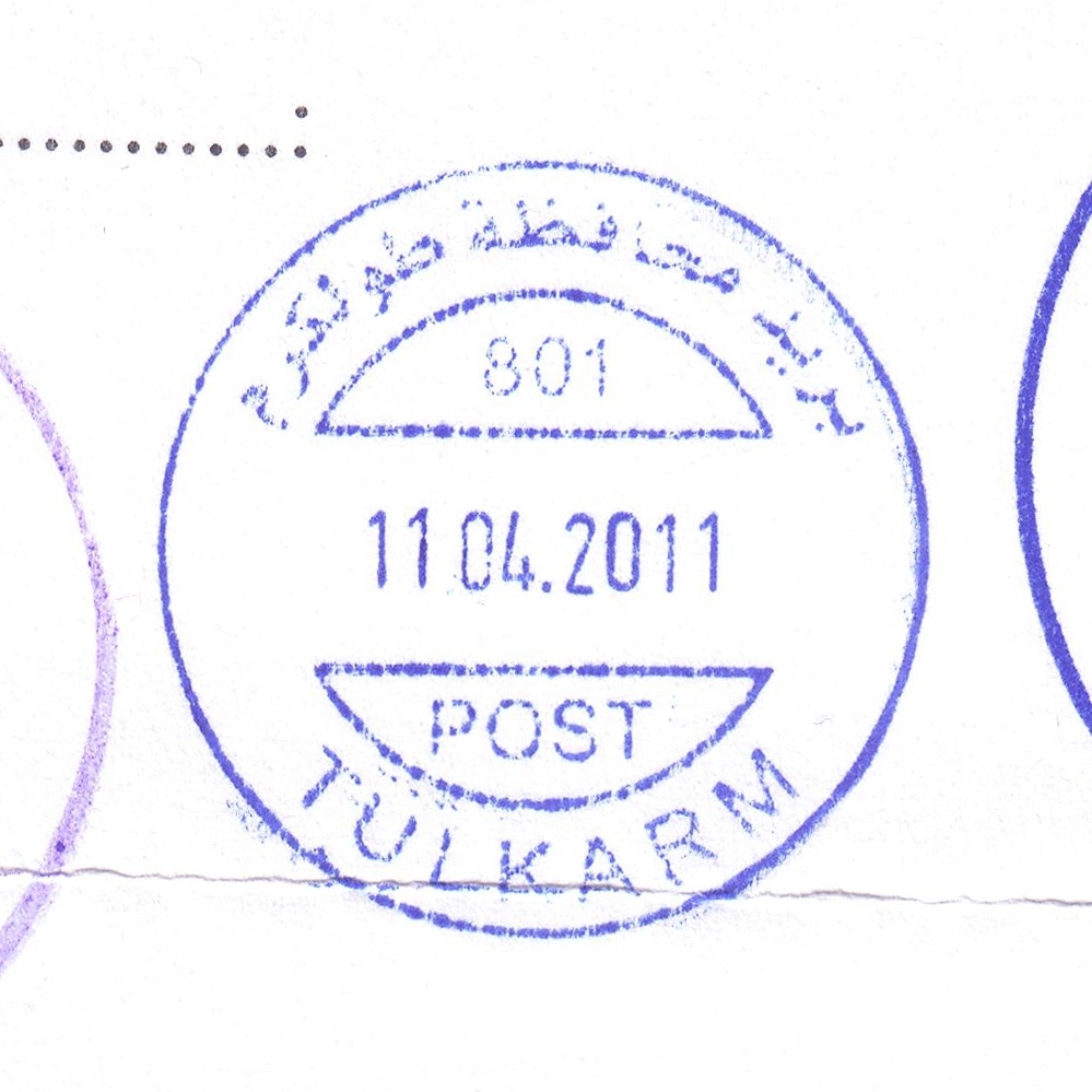
 Tulkarm © OpenStreetMap contributors, CC-BY-SA") | Tulkarm طولكرم Toolkerem, Tulkarem, Tul-Karm, Tul Qarem | Pop.: 21,300 Govern.: Tul Opened: 1906 PO Number: 801 Postcode: 300 | |||||||||
| 32°19' N, 35°02' E OpenStreetMap Google Maps Wikipedia | Governorate capital with (when including Tulkarm Camp & Dhinnaba) a population of 61,941 (Census 2007, 1997: 50,293), directly on the Green Line and now almost entirely surrounded by the Apatheid Wall. The first post office in the city opened under Ottoman rule in 1906. Jordanian authorities operated a post office (district main PO) from (date?)##. A post office under control of the Israeli military occupation forces existed from 16.07.1967. The nearest other post office is Nur Shams Camp (situated in East Dhinnaba) with Deir al-Gusun, Bala'a, Anabta, and Beit Lid further away. | ||||||||||
| |||||||||||
| |||||||||||
 tulkarm1_120927_0400")
 tulkarm801_110411_0401")